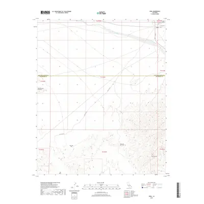
2018 Map of Vidal
USGS Topo · Published 2018About this map
The small desert community of Vidal anchors this landscape at the junction of US Rte 95 and Blythe Vidal Rd. Located in the far eastern reaches of the Mojave Desert, the area is defined by the dramatic relief of the Riverside Mountains and the West Riverside Mountains, which dominate the southern half of the quadrangle. For those researching local history, the Holly Cem is situated just east of the main settlement near Vidal Valley. The topography is marked by significant ephemeral drainages such as Vidal Wash and Big Wash, which serve as natural corridors through the arid terrain. The crossing at Riverside Pass provides a key point of navigation between the mountain ranges, illustrating the historical importance of these few established routes through the Colorado River valley region.
Find a feature on this map
22 named features on this map. Tap any name to fly to it.
Don’t see what you’re looking for? This feature index may not catch every label — zoom into the map to look around manually.
Map Details
Editions of this 2018 Vidal Map
This is the sole edition of this map. No revisions or reprints were ever made.
Other maps of this area

1911 · Parker
USGS Topo · 1:125,000

1931 · Moon Mtn
USGS Topo · 1:62,500

1932 · Moon Mtn
USGS Topo · 1:62,500

1942 · Blythe
USGS Topo · 1:250,000

1942 · MOON MTN
USGS Topo · 1:62,500

1943 · Parker
USGS Topo · 1:62,500

1943 · Vidal
USGS Topo · 1:62,500

1945 · Big Maria Mtns
USGS Topo · 1:62,500

1949 · Parker
USGS Topo · 1:62,500

1949 · Vidal
USGS Topo · 1:62,500