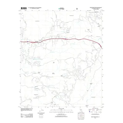
2012 Map of Viejas Mountain
USGS Topo · Published 2012About this map
Viejas Mountain dominates the northern skyline of this San Diego County landscape, overlooking a series of valleys and ridges defined by the Sweetwater River and its tributaries. The settlement pattern reflects a mix of traditional ranching and modern recreational use, with landmarks like Lyster Ranch and Carveacre Ranch situated near the more contemporary Mar-Tar-Awa Campground. To the south, Japatul Valley serves as a hub for local routes like Japatul Rd, while more secluded spots like Hidden Glen and Glen Lonely sit tucked into the canyons. Notable infrastructure includes the On the Rocks Airport near Kearchoffer Flat and the Viejas Honor Camp further east. This 2012 survey illustrates the transition from the concentrated corridor of The Willows and Viejas Valley into the more dispersed terrain of Bell Bluff and Horsethief Ridge.
Find a feature on this map
69 named features on this map. Tap any name to fly to it.
Don’t see what you’re looking for? This feature index may not catch every label — zoom into the map to look around manually.
Map Details
Editions of this 2012 Viejas Mountain Map
This is the sole edition of this map. No revisions or reprints were ever made.
Other maps of this area

1893 · El Cajon
USGS Topo · 1:62,500

1901 · Elcajon
USGS Topo · 1:62,500

1903 · Cuyamaca
USGS Topo · 1:125,000

1903 · Elcajon
USGS Topo · 1:62,500

1904 · Southern California Sheet No. 2
USGS Topo · 1:250,000

1939 · El Cajon
USGS Topo · 1:62,500

1942 · Potrero
USGS Topo · 1:48,000

1942 · El Cajon
USGS Topo · 1:62,500

1942 · Cuyamaca Peak
USGS Topo · 1:62,500

1943 · Jamul
USGS Topo · 1:62,500