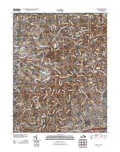
2011 Map of Vienna
USGS Topo · Published 2011About this map
Vienna and Reston anchor this Northern Virginia landscape, which at the start of the 2010s shows a sophisticated suburban network overlaying its historical agricultural roots. The Washington and Old Dominion Tr cuts diagonally across the terrain, tracing the former railroad corridor that once linked these communities. The area's legacy of small settlements is preserved in place names like Dranesville, Springvale, and Clarks Crossing, while numerous family and community burial grounds, such as Flint Hill Cemetery and Browns Chapel Cemetery, remain as permanent markers of local genealogy.
Find a feature on this map
80 named features on this map. Tap any name to fly to it.
Don’t see what you’re looking for? This feature index may not catch every label — zoom into the map to look around manually.
Map Details
Editions of this 2011 Vienna Map
This is the sole edition of this map. No revisions or reprints were ever made.
Other maps of this area

1890 · Mt. Vernon
USGS Topo · 1:125,000

1891 · Mt. Vernon
USGS Topo · 1:125,000

1893 · Frederick
USGS Topo · 1:125,000

1894 · Frederick
USGS Topo · 1:125,000

1894 · Mt. Vernon
USGS Topo · 1:125,000

1897 · Mt. Vernon
USGS Topo · 1:125,000

1900 · Washington
USGS Topo · 1:62,500

1908 · Rockville
USGS Topo · 1:62,500

1908 · Seneca
USGS Topo · 1:62,500

1915 · Fairfax
USGS Topo · 1:62,500