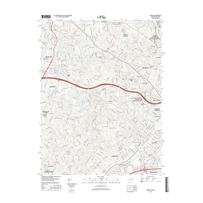
2016 Map of Vienna
USGS Topo · Published 2016About this map
Wolf Trap National Park for the Performing Arts serves as a cultural anchor in this Fairfax County landscape, which by 2016 had transitioned into a complex network of residential communities and suburban centers. The map documents the intricate hydrology of the Difficult Run watershed and its numerous tributaries, including Little Difficult Run and Colvin Run, which carve through the Culpeper Basin.
Find a feature on this map
73 named features on this map. Tap any name to fly to it.
Don’t see what you’re looking for? This feature index may not catch every label — zoom into the map to look around manually.
Map Details
Editions of this 2016 Vienna Map
This is the sole edition of this map. No revisions or reprints were ever made.
Other maps of this area

1890 · Mt. Vernon
USGS Topo · 1:125,000

1891 · Mt. Vernon
USGS Topo · 1:125,000

1893 · Frederick
USGS Topo · 1:125,000

1894 · Frederick
USGS Topo · 1:125,000

1894 · Mt. Vernon
USGS Topo · 1:125,000

1897 · Mt. Vernon
USGS Topo · 1:125,000

1900 · Washington
USGS Topo · 1:62,500

1908 · Rockville
USGS Topo · 1:62,500

1908 · Seneca
USGS Topo · 1:62,500

1915 · Fairfax
USGS Topo · 1:62,500