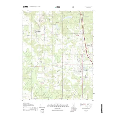
2018 Map of Vienna
USGS Topo · Published 2018About this map
Vienna serves as the focal point of this Johnson County landscape, situated at the confluence of several local routes and overlooking the Vienna Reservoir. The town's layout is defined by a traditional grid including W Main St and N 1st St, with the Rose Hill Hill Cem marking the southern outskirts. To the northwest, the terrain transitions into the dense woodlands of the Shawnee National Forest, where water bodies like Dutchman Lake and Tall Tree Lake are tucked among the ridges. This area is heavily dotted with small family and community burial grounds, such as Mount Zion Cem and Peterson Cem, reflecting a long-standing pattern of rural settlement. Further west, the map captures the small community of Buncombe and the rugged southern landscape near Wildcat Bluff along the Cache River.
Find a feature on this map
81 named features on this map. Tap any name to fly to it.
Don’t see what you’re looking for? This feature index may not catch every label — zoom into the map to look around manually.
Map Details
Editions of this 2018 Vienna Map
This is the sole edition of this map. No revisions or reprints were ever made.
Other maps of this area

1918 · Vienna
USGS Topo · 1:62,500

1919 · Vienna
USGS Topo · 1:62,500

1920 · Dongola
USGS Topo · 1:62,500

1922 · Carbondale
USGS Topo · 1:62,500

1923 · Dongola
USGS Topo · 1:62,500

1925 · Marion
USGS Topo · 1:62,500

1940 · Marion
USGS Topo · 1:62,500

1941 · Carbondale
USGS Topo · 1:62,500

1942 · Vienna
USGS Topo · 1:62,500

1949 · Paducah
USGS Topo · 1:250,000