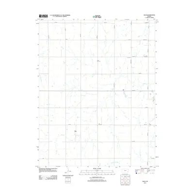
2012 Map of Vilas
USGS Topo · Published 2012About this map
Vilas stands as the primary settlement in this section of Wilson County, situated at the junction of several section-line roads. The landscape is defined by the drainage network of Village Cr, which winds through the central territory, joined by tributaries like Woodruff Br and Elder Br. A distinct pattern of rural community centers is evident through the distribution of cemeteries, which often mark the locations of former pioneer church sites or small neighborhood clusters. These include Vilas Bethel Cem near the town center and more outlying sites such as Swede Center Cem, Colfax Cem, and Zion Cem. The grid-like road system, featuring named routes like Arizona Rd and Alabama Rd, reflects the structured agricultural development typical of the Kansas plains.
Find a feature on this map
29 named features on this map. Tap any name to fly to it.
Don’t see what you’re looking for? This feature index may not catch every label — zoom into the map to look around manually.
Map Details
Editions of this 2012 Vilas Map
This is the sole edition of this map. No revisions or reprints were ever made.
Other maps of this area

1886 · Fredonia
USGS Topo · 1:125,000

1886 · Iola
USGS Topo · 1:125,000

1893 · Iola
USGS Topo · 1:125,000

1894 · Fredonia
USGS Topo · 1:125,000

1904 · Iola
USGS Topo · 1:125,000

1938 · Altoona
USGS Topo · 1:62,500

1939 · Altoona
USGS Topo · 1:48,000

1943 · Altoona
USGS Topo · 1:62,500

1947 · Joplin
USGS Topo · 1:250,000

1949 · Joplin
USGS Topo · 1:250,000