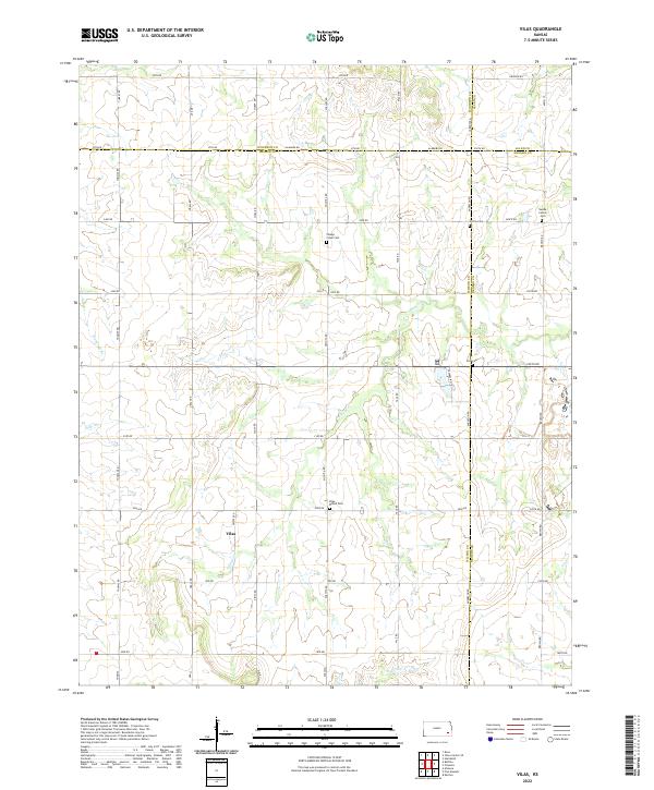
2022 Map of Vilas
USGS Topo · Published 2022About this map
The settlement of Vilas sits at the intersection of 2000 Rd and Village Cr in a rural section of southeastern Kansas where Wilson, Woodson, Allen, and Neosho counties meet. This landscape is defined by its agricultural grid and a collection of community burial grounds that reveal the early heritage of the region, including the Swede Center Cem, Colfax Cem, and Village Creek Cem. The terrain is drained by several small watercourses such as Big Cedar Cr, Woodruff Br, and Elder Br, which wind through the section lines. The proximity of Vilas Bethel Cem to the main townsite highlights the central role of local congregations in organizing the social and physical geography of this plains community.
Find a feature on this map
53 named features on this map. Tap any name to fly to it.
Don’t see what you’re looking for? This feature index may not catch every label — zoom into the map to look around manually.
Map Details
Editions of this 2022 Vilas Map
This is the sole edition of this map. No revisions or reprints were ever made.
Other maps of this area

1886 · Fredonia
USGS Topo · 1:125,000

1886 · Iola
USGS Topo · 1:125,000

1893 · Iola
USGS Topo · 1:125,000

1894 · Fredonia
USGS Topo · 1:125,000

1904 · Iola
USGS Topo · 1:125,000

1938 · Altoona
USGS Topo · 1:62,500

1939 · Altoona
USGS Topo · 1:48,000

1943 · Altoona
USGS Topo · 1:62,500

1947 · Joplin
USGS Topo · 1:250,000

1949 · Joplin
USGS Topo · 1:250,000