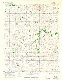
1963 Map of Vilas
USGS Topo · Published 1964About this map
The Vilas community serves as the central hub of this mid-century Kansas landscape, situated where the Atchison Topeka and Santa Fe railroad crosses the Old Indian Treaty Boundary. This historical line bisects the territory, separating the townships of Perry, Colfax, and Pleasant Valley from their eastern counterparts. The map documents a rural society deeply rooted in its local institutions, including the Grange Hall, Union Valley Sch, and spiritual centers such as Center Ridge Ch and Zion Ch.
Find a feature on this map
30 named features on this map. Tap any name to fly to it.
Don’t see what you’re looking for? This feature index may not catch every label — zoom into the map to look around manually.
Map Details
Editions of this 1963 Vilas Map
This is the sole edition of this map. No revisions or reprints were ever made.
Other maps of this area

1886 · Fredonia
USGS Topo · 1:125,000

1886 · Iola
USGS Topo · 1:125,000

1893 · Iola
USGS Topo · 1:125,000

1894 · Fredonia
USGS Topo · 1:125,000

1904 · Iola
USGS Topo · 1:125,000

1938 · Altoona
USGS Topo · 1:62,500

1939 · Altoona
USGS Topo · 1:48,000

1943 · Altoona
USGS Topo · 1:62,500

1947 · Joplin
USGS Topo · 1:250,000

1949 · Joplin
USGS Topo · 1:250,000