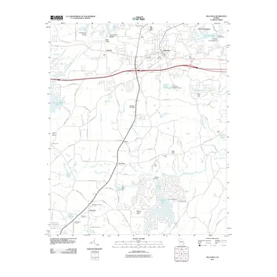
2011 Map of Villa Rica
USGS Topo · Published 2011About this map
Villa Rica serves as the primary hub of this north Georgia landscape, where a history of resource extraction is evident in the presence of the Chambers Mine, Jones Mine, and Hart Mine. The map reveals a complex network of small settlements and crossroads such as Ithaca, Five Points, and Sand Hill, which persist alongside newer developments like Flying S Ranchettes. These community nodes are often anchored by local heritage sites, including the Old Carrollton Cemetery and Macedonia Cemetery.
Find a feature on this map
123 named features on this map. Tap any name to fly to it.
Don’t see what you’re looking for? This feature index may not catch every label — zoom into the map to look around manually.
Map Details
Editions of this 2011 Villa Rica Map
This is the sole edition of this map. No revisions or reprints were ever made.
Other maps of this area

1889 · Tallapoosa
USGS Topo · 1:125,000

1891 · Marietta
USGS Topo · 1:125,000

1892 · Tallapoosa
USGS Topo · 1:125,000

1895 · Marietta
USGS Topo · 1:125,000

1897 · Marietta
USGS Topo · 1:125,000

1897 · Tallapoosa
USGS Topo · 1:125,000

1901 · Marietta
USGS Topo · 1:125,000

1953 · Atlanta
USGS Topo · 1:250,000

1957 · Atlanta
USGS Topo · 1:250,000

1958 · Rico
USGS Topo · 1:24,000