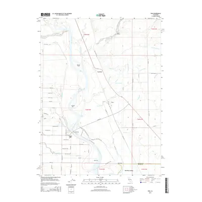
2015 Map of Vina
USGS Topo · Published 2015About this map
The Sacramento River carves a complex path through this section of Tehama County, defining a landscape of riparian sloughs and agricultural development. The settlement of Vina sits central to a network of irrigation features including China Slough and the N Main Canal, while the small community of Copeland lies to the northwest along the rail corridor. The river’s shifting nature is evident in named landmarks like Captain Jones Rapids and Copeland Bar, as well as the prominent Blethen Island. Cultural history is noted at Merrills Landing on the southern edge and the Woodson Bridge crossing. Extensive road grids, including South Ave and Leininger Rd, illustrate the transition from the riverbanks to the managed orchard lands and pastures that characterize the region north of the Butte County line.
Find a feature on this map
75 named features on this map. Tap any name to fly to it.
Don’t see what you’re looking for? This feature index may not catch every label — zoom into the map to look around manually.
Map Details
Editions of this 2015 Vina Map
This is the sole edition of this map. No revisions or reprints were ever made.
Other maps of this area

1886 · Lassen Peak
USGS Topo · 1:250,000

1890 · Red Bluff
USGS Topo · 1:250,000

1891 · Chico
USGS Topo · 1:125,000

1892 · Lassen Peak
USGS Topo · 1:250,000

1893 · Chico
USGS Topo · 1:125,000

1894 · Lassen Peak
USGS Topo · 1:250,000

1894 · Red Bluff
USGS Topo · 1:250,000

1895 · Chico
USGS Topo · 1:125,000

1904 · Vina
USGS Topo · 1:62,500

1905 · Tehama
USGS Topo · 1:62,500