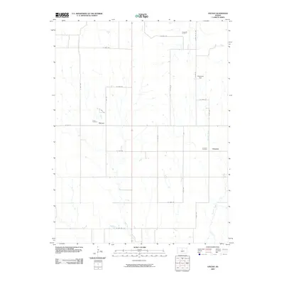
2009 Map of Vincent
USGS Topo · Published 2009About this map
The agrarian communities of Vincent and Cheyenne anchor this Osborne County landscape, showing the persistent settlement patterns of rural Kansas. The map captures a high-resolution view of the local section-line road network, where routes like Co Rd 412 and S 130th Ave define the property boundaries and drainage basins. For genealogists and local historians, the inclusion of the Potterville Cemetery, Vincent Cemetery, and Cheyenne Cemetery provides essential locations for tracing family heritage in this region. Waterways such as Fourmile Creek and Coon Creek wind through the township, while the Cheyenne Gap serves as a notable topographical break in the terrain. This survey reflects the enduring character of the high plains, where small named settlements and their associated burial grounds remain the primary landmarks across the wide prairie.
Find a feature on this map
26 named features on this map. Tap any name to fly to it.
Don’t see what you’re looking for? This feature index may not catch every label — zoom into the map to look around manually.
Map Details
Editions of this 2009 Vincent Map
This is the sole edition of this map. No revisions or reprints were ever made.
Other maps of this area

1896 · Osborne
USGS Topo · 1:125,000

1955 · Beloit
USGS Topo · 1:250,000

1959 · Beloit
USGS Topo · 1:250,000

1978 · Osborne SW
USGS Topo · 1:24,000
1978 · Lucas
USGS Topo · 1:24,000
1978 · Luray
USGS Topo · 1:24,000
1978 · Osborne SE
USGS Topo · 1:24,000
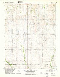
1978 · Vincent
USGS Topo · 1:24,000
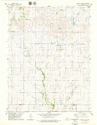
1978 · Meades Ranch
USGS Topo · 1:24,000
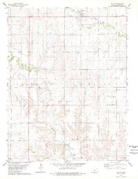
1978 · Waldo
USGS Topo · 1:24,000