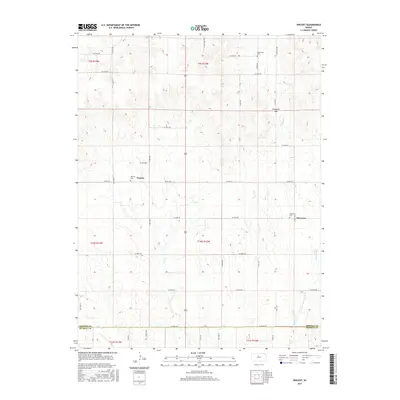
2015 Map of Vincent
USGS Topo · Published 2015About this map
The small communities of Vincent and Cheyenne anchor this rural landscape along the border of Osborne and Russell counties. This modern topographic study reveals a terrain shaped by the tributaries of the Saline River, including the winding paths of Wolf Cr and Coon Cr. The local geography is defined by prominent natural features such as Cheyenne Gap and the drainage of Fourmile Cr. For those tracing local heritage, several historic burial grounds are clearly marked, including Potterville Cem in the north, Vincent Cem near the townsite, and Cheyenne Cem further east. A network of section-line roads, many designated by county numbers or alphanumeric identifiers like Co RD 412, provides a grid-based look at the land division and access points across the high plains of north-central Kansas.
Find a feature on this map
44 named features on this map. Tap any name to fly to it.
Don’t see what you’re looking for? This feature index may not catch every label — zoom into the map to look around manually.
Map Details
Editions of this 2015 Vincent Map
This is the sole edition of this map. No revisions or reprints were ever made.
Other maps of this area

1896 · Osborne
USGS Topo · 1:125,000

1955 · Beloit
USGS Topo · 1:250,000

1959 · Beloit
USGS Topo · 1:250,000

1978 · Osborne SW
USGS Topo · 1:24,000
1978 · Lucas
USGS Topo · 1:24,000
1978 · Luray
USGS Topo · 1:24,000
1978 · Osborne SE
USGS Topo · 1:24,000
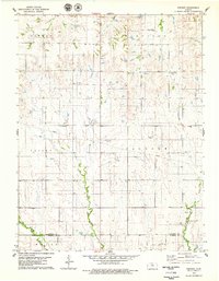
1978 · Vincent
USGS Topo · 1:24,000
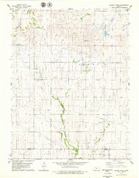
1978 · Meades Ranch
USGS Topo · 1:24,000
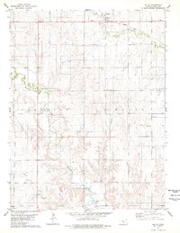
1978 · Waldo
USGS Topo · 1:24,000