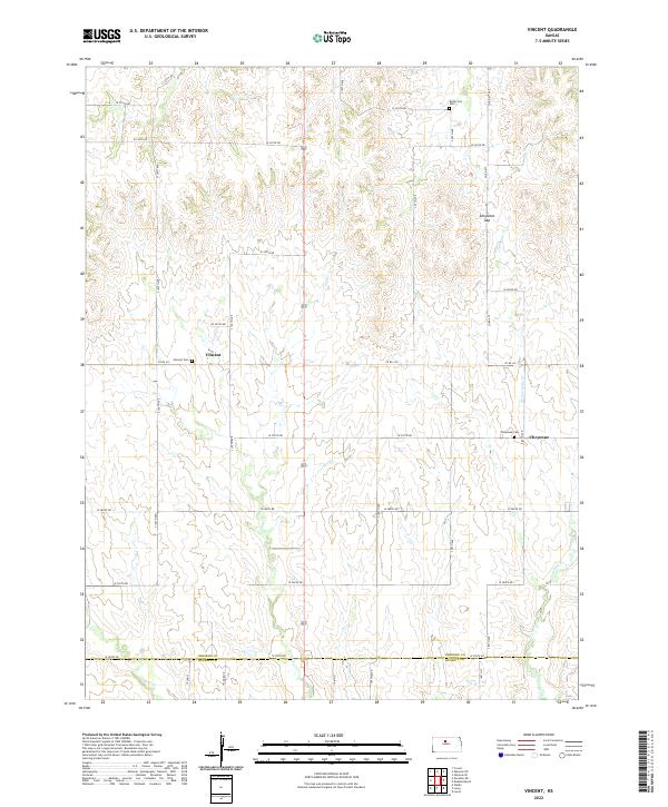
2022 Map of Vincent
USGS Topo · Published 2022About this map
The rolling agricultural landscape of north-central Kansas is defined by high drainage divides and intermittent stream valleys. Small rural settlements like Vincent and Cheyenne serve as the primary landmarks in this part of Osborne County. The terrain is notably marked by Cheyenne Gap, a natural break in the topography that historically guided local passage through the hills. Water systems such as Fourmile Cr and Coon Cr carve distinctive patterns through the section lines, while the southern boundary of the quadrangle follows the Osborne and Russell County line. Local history and genealogy are preserved in the presence of several small burial grounds, including Potterville Cem, Vincent Cem, and Cheyenne Cem, which anchor the landscape to its early community roots.
Find a feature on this map
42 named features on this map. Tap any name to fly to it.
Don’t see what you’re looking for? This feature index may not catch every label — zoom into the map to look around manually.
Map Details
Editions of this 2022 Vincent Map
This is the sole edition of this map. No revisions or reprints were ever made.
Other maps of this area

1896 · Osborne
USGS Topo · 1:125,000

1955 · Beloit
USGS Topo · 1:250,000

1959 · Beloit
USGS Topo · 1:250,000

1978 · Osborne SW
USGS Topo · 1:24,000
1978 · Lucas
USGS Topo · 1:24,000
1978 · Luray
USGS Topo · 1:24,000
1978 · Osborne SE
USGS Topo · 1:24,000
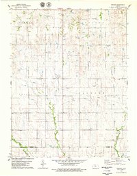
1978 · Vincent
USGS Topo · 1:24,000
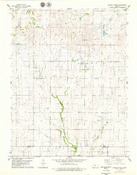
1978 · Meades Ranch
USGS Topo · 1:24,000
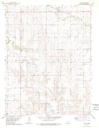
1978 · Waldo
USGS Topo · 1:24,000