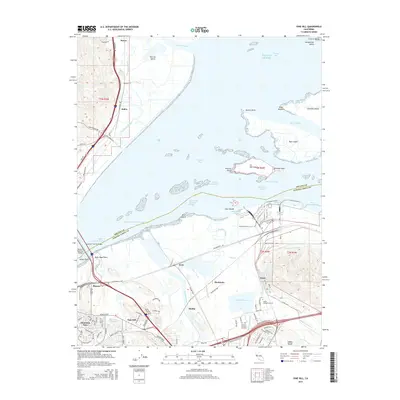
2015 Map of Vine Hill
USGS Topo · Published 2015About this map
Vine Hill and Mountain View anchor the southern reach of this coastal landscape, where the northern foothills of the Diablo Range meet the complex wetlands of Suisun Bay. The terrain is defined by a dense network of industrial and transport corridors, including the Southern Pacific Bridge crossing the Bulls Head Channel and the convergence of the Mokelumne Aqueduct and Contra Costa Canal. This 2015 data illustrates the intensive management of water and transit in the East Bay, showing the proximity of residential areas like Bahia and Clyde to large-scale infrastructure like the Mallard Reservoir and Monsanto facility. In the marshes, Morrow Island and Roe Island sit among a labyrinth of tidal passages such as Goodyear Slough and Hastings Slough, marking the transition between the developed uplands and the brackish waters of the Pacific Ocean inlet.
Find a feature on this map
104 named features on this map. Tap any name to fly to it.
Don’t see what you’re looking for? This feature index may not catch every label — zoom into the map to look around manually.
Map Details
Editions of this 2015 Vine Hill Map
This is the sole edition of this map. No revisions or reprints were ever made.
Other maps of this area

1896 · Carquinez Strait
USGS Topo · 1:62,500

1896 · Mt. Diablo
USGS Topo · 1:62,500

1897 · Concord
USGS Topo · 1:62,500

1898 · Karquines
USGS Topo · 1:62,500

1898 · Mt. Diablo
USGS Topo · 1:62,500

1901 · Karquines
USGS Topo · 1:62,500

1902 · Napa
USGS Topo · 1:125,000

1907 · Antioch
USGS Topo · 1:62,500

1908 · Antioch
USGS Topo · 1:62,500

1915 · Concord
USGS Topo · 1:62,500