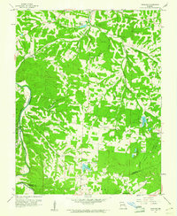
1960 Map of Vineland
USGS Topo · Published 1961About this map
Valle township terrain dominates this 1960 survey, defined by the winding course of the Big River as it forms the boundary between Jefferson and St. Francois counties. The Missouri Pacific railroad cuts through the northwest, serving the small community of Vineland, while Blackwell sits at a lower bend in the river near Tiff Creek. This area of the eastern Ozarks reflects a landscape of small rural settlements, family-named cemeteries such as Joachim Cem and Buster Cem, and localized infrastructure like the Cole Landing Field. The presence of Valles Mines and a Quarry suggests the enduring mineral-extraction history of the region, while the Sunrise Sch and Mt Olive Ch anchor the scattered homesteads. Water features are abundant, from the larger De Soto Lake and Valle Lake to small drainage hollows like Dripping Springs Hollow.
Find a feature on this map
33 named features on this map. Tap any name to fly to it.
Don’t see what you’re looking for? This feature index may not catch every label — zoom into the map to look around manually.
Map Details
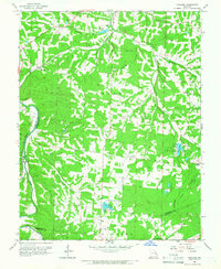
Editions of this 1960 Vineland Map
2 editions found
Other maps of this area

1901 · De Soto
USGS Topo · 1:125,000

1904 · Farmington
USGS Topo · 1:62,500

1905 · Bonneterre
USGS Topo · 1:62,500

1906 · Farmington
USGS Topo · 1:62,500

1915 · Crystal City
USGS Topo · 1:62,500

1930 · De Soto NE
USGS Topo · 1:24,000

1931 · De Soto SE
USGS Topo · 1:24,000

1937 · Fletcher
USGS Topo · 1:24,000

1937 · Tiff
USGS Topo · 1:24,000

1938 · Fletcher
USGS Topo · 1:24,000