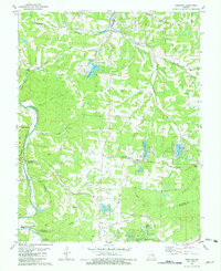
1981 Map of Vineland
USGS Topo · Published 1982About this map
Valles Mines and the surrounding mineral lands of the Jefferson Co St Francois Co border are detailed in this early 1980s topographic record. The landscape is defined by the Missouri Pacific rail line running through Vineland and the heavy concentration of private cemeteries and small rural institutions that speak to the area's deep family roots. Settlements like Blackwell and Melzo are connected by a network of local routes including Mothershead Road and Lembeck Road.
Find a feature on this map
57 named features on this map. Tap any name to fly to it.
Don’t see what you’re looking for? This feature index may not catch every label — zoom into the map to look around manually.
Map Details
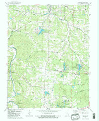
Editions of this 1981 Vineland Map
2 editions found
Other maps of this area

1901 · De Soto
USGS Topo · 1:125,000

1904 · Farmington
USGS Topo · 1:62,500

1905 · Bonneterre
USGS Topo · 1:62,500

1906 · Farmington
USGS Topo · 1:62,500

1915 · Crystal City
USGS Topo · 1:62,500

1930 · De Soto NE
USGS Topo · 1:24,000

1931 · De Soto SE
USGS Topo · 1:24,000

1937 · Fletcher
USGS Topo · 1:24,000

1937 · Tiff
USGS Topo · 1:24,000

1938 · Fletcher
USGS Topo · 1:24,000