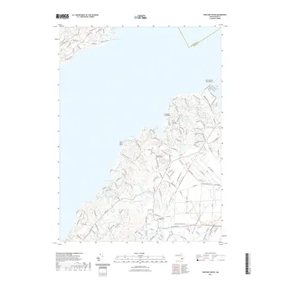
2021 Map of Vineyard Haven
USGS Topo · Published 2021About this map
Christiantown Memorial Cem and Mingo Cem anchor the interior of this coastal landscape, reflecting generations of local history near Seths Pond. The terrain is defined by a dense network of freshwater bodies and saltwater marshes, including the expansive James Pond Marshes and the sheltered Lake Tashmoo. Water power and early industry are suggested by features like Old Millpond and the winding Paint Mill Brook, which flow through the southern valleys toward Deep Bottom. The road network is particularly distinctive, featuring long-established paths like Trotting Course and Red Coat Hill Rd, alongside family-named landmarks such as Ben Chase Rd and Shubael Weeks Path. This coastal map provides a look at the intricate shoreline from Lamberts Cove Beach to the wetlands of the Great Swamp in the northwest.
Find a feature on this map
154 named features on this map. Tap any name to fly to it.
Don’t see what you’re looking for? This feature index may not catch every label — zoom into the map to look around manually.
Map Details
Editions of this 2021 Vineyard Haven Map
This is the sole edition of this map. No revisions or reprints were ever made.
Other maps of this area

1885 · New Bedford
USGS Topo · 1:62,500

1886 · Falmouth
USGS Topo · 1:62,500

1887 · Gay Head
USGS Topo · 1:62,500

1887 · Marthas Vineyard
USGS Topo · 1:62,500

1888 · New Bedford
USGS Topo · 1:62,500

1888 · Falmouth
USGS Topo · 1:62,500

1889 · Gay Head
USGS Topo · 1:62,500

1889 · Marthas Vineyard
USGS Topo · 1:62,500

1893 · Gay Head
USGS Topo · 1:62,500

1893 · Falmouth
USGS Topo · 1:62,500