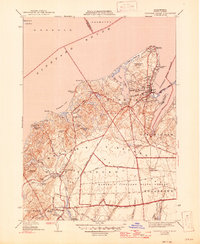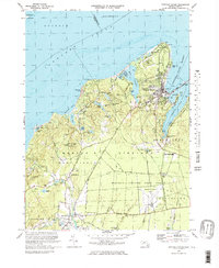
2024 Map of Vineyard Haven
USGS Topo · Published 2024About this map
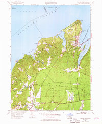
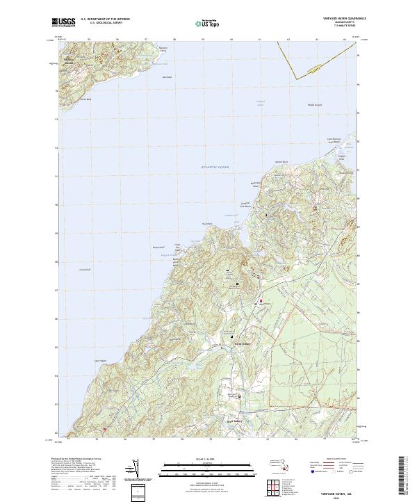
The rolling glacial landscape of Martha's Vineyard and the Elizabeth Islands unfolds across this detailed survey, highlighting the rural character of North Tisbury and West Tisbury. The map documents a deeply layered history through its burial sites, from the Mingo Family Cem to the Christiantown Memorial Cem, alongside the North Tisbury Burial Ground. The network of interior waterways, including Seths Pond and Priester Pond, feeds into the Mill Brook and Tiasquam River systems that shaped the early mill economy, visible at the Old Millpond.
Find a feature on this map
176 named features on this map. Tap any name to fly to it.
Don’t see what you’re looking for? This feature index may not catch every label — zoom into the map to look around manually.
Map Details
Editions of this 2024 Vineyard Haven Map
This is the sole edition of this map. No revisions or reprints were ever made.
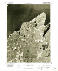
Historical Maps of North Tisbury Through Time
5 maps found