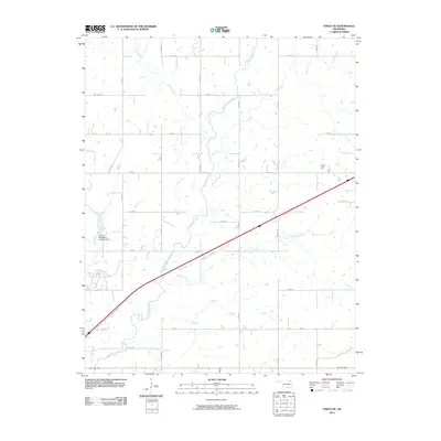
2010 Map of Vinita NE
USGS Topo · Published 2010About this map
Little Cabin Creek and its many tributaries, including Shawnee Creek and Coal Creek, dominate this rural landscape in northeastern Oklahoma. The terrain is characterized by a dense grid of section roads, such as S 4430 Rd and E 210 Rd, which outline the agricultural parcels typical of the region. A notable point of human infrastructure is the Eastern Oklahoma Hospital Dam, situated along Bull Creek in the western portion of the map. This feature indicates the historical intersection of state-run institutional needs and water management in the early 21st century. Further east, Goat Hill provides a distinct topographic landmark rising above the surrounding creek valleys, while the diagonal path of the interstate cuts across the drainage basins of Jones Creek and Possum Branch.
Find a feature on this map
25 named features on this map. Tap any name to fly to it.
Don’t see what you’re looking for? This feature index may not catch every label — zoom into the map to look around manually.
Map Details
Editions of this 2010 Vinita NE Map
This is the sole edition of this map. No revisions or reprints were ever made.
Other maps of this area

1901 · Vinita
USGS Topo · 1:125,000

1907 · Wyandotte
USGS Topo · 1:125,000

1909 · Wyandotte
USGS Topo · 1:125,000

1913 · Vinita
USGS Topo · 1:125,000

1954 · Tulsa
USGS Topo · 1:250,000

1958 · Tulsa
USGS Topo · 1:250,000

1961 · Miami SW
USGS Topo · 1:24,000

1963 · Tulsa
USGS Topo · 1:250,000
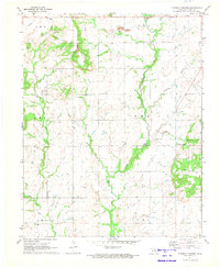
1971 · Pyramid Corners
USGS Topo · 1:24,000
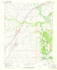
1971 · Big Cabin
USGS Topo · 1:24,000