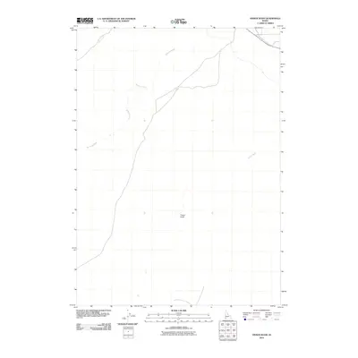
2010 Map of Vinson Wash
USGS Topo · Published 2010About this map
McKeeth Wash meanders through this portion of Owyhee County, defining a landscape shaped by intermittent drainage patterns and high-desert terrain. This 2010 survey by the U.S. Geological Survey documents the sparse but distinct hydrographic network of the region, featuring Birch Creek in the northwest and Jensen Wash to the east. The terrain is characterized by subtle elevation changes and geological features like Poison Gulch, which sits centrally within the quadrangle. The map reveals a remote area primarily defined by these natural watercourses and limited road access, reflecting the quiet, undeveloped character of this section of Idaho at the start of the twenty-first century.
Find a feature on this map
4 named features on this map. Tap any name to fly to it.
Don’t see what you’re looking for? This feature index may not catch every label — zoom into the map to look around manually.
Map Details
Editions of this 2010 Vinson Wash Map
This is the sole edition of this map. No revisions or reprints were ever made.
Other maps of this area

1892 · Bisuka
USGS Topo · 1:125,000

1894 · Bisuka
USGS Topo · 1:125,000

1947 · Grand View
USGS Topo · 1:62,500

1947 · Grand View
USGS Topo · 1:24,000

1947 · Jackass Butte
USGS Topo · 1:24,000

1947 · Chalk Hills
USGS Topo · 1:24,000

1947 · Vinson Wash
USGS Topo · 1:24,000

1947 · Perjue Canyon
USGS Topo · 1:24,000

1947 · Dorsey Butte
USGS Topo · 1:24,000

1948 · Castle Butte
USGS Topo · 1:24,000