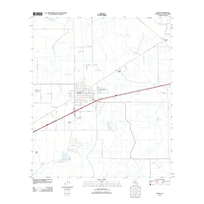
2012 Map of Vinton
USGS Topo · Published 2012About this map
Vinton serves as the central hub of this Calcasieu Parish landscape, where the traditional agricultural layout of Sabine Prairie meets modern infrastructure and industry. The town is flanked by the major transport corridor of Interstate 10 and the Delta Downs Racetrack to the northwest. Significant hydrological features including the Sabine Canal, Vinton Drainage Canal, and winding natural waterways like Gum Gully and Coon Gully define the low-lying terrain.
Find a feature on this map
79 named features on this map. Tap any name to fly to it.
Don’t see what you’re looking for? This feature index may not catch every label — zoom into the map to look around manually.
Map Details
Editions of this 2012 Vinton Map
This is the sole edition of this map. No revisions or reprints were ever made.
Other maps of this area

1932 · Orange
USGS Topo · 1:62,500

1946 · Phoenix Lake
USGS Topo · 1:31,680

1947 · Sulphur
USGS Topo · 1:31,680

1947 · Starks
USGS Topo · 1:31,680

1947 · Vinton
USGS Topo · 1:31,680

1947 · Toomey
USGS Topo · 1:31,680

1947 · Sulphur Mines
USGS Topo · 1:31,680

1947 · Lunita
USGS Topo · 1:31,680
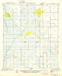
1949 · Cameron Farms
USGS Topo · 1:31,680
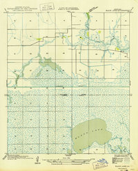
1949 · Black Lake
USGS Topo · 1:31,680