Loading...
Loading map...2022 Map of Viola
USGS Topo · Published 2022About this map
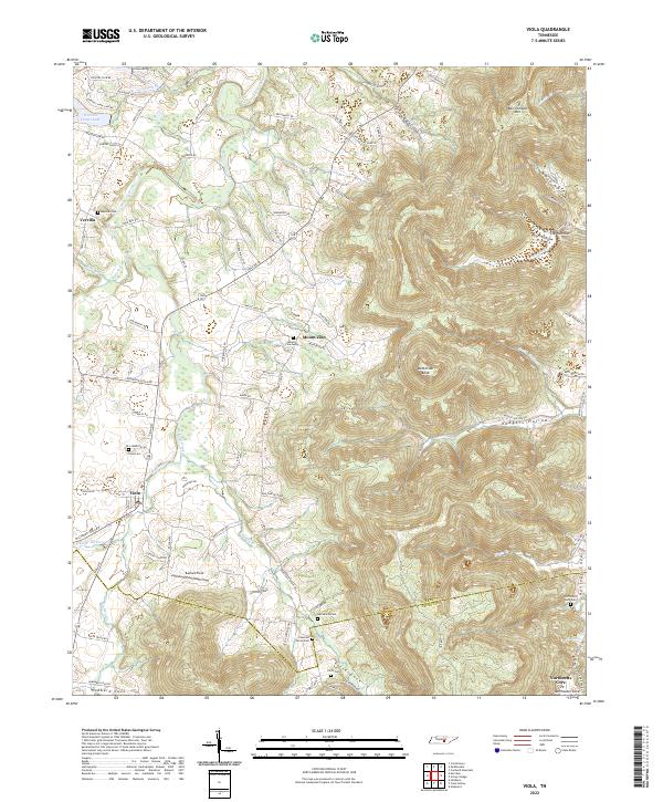
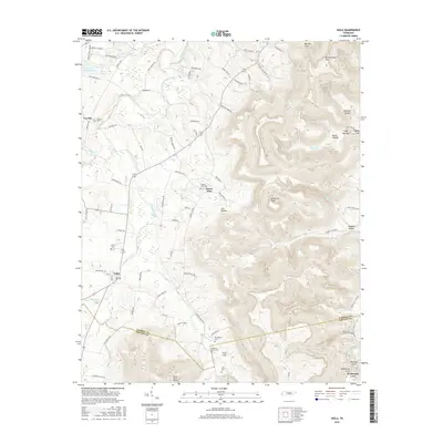
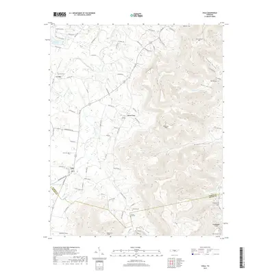
Hickory Creek and its many tributaries, such as Little Hickory Cr and W Fork Hickory Cr, define the drainage patterns of this Tennessee landscape. The terrain transitions from relatively level ground near Viola and Vervilla in the west to the significant elevations of Ben Lomond Mtn and Butterson Knob in the east. This eastern portion is marked by deep hollows and coves, including Solomon Hollow, Beech Hollow, and the expansive Northcutts Cove.
Find a feature on this map
97 named features on this map. Tap any name to fly to it.
Don’t see what you’re looking for? This feature index may not catch every label — zoom into the map to look around manually.
Map Details
Date Portrayed2022
Date Published2022
PublisherU.S. Geological Survey
Map TypeTopographic
Scale1:24,000
Physical Dimensions24 x 29 inches
Editions of this 2022 Viola Map
This is the sole edition of this map. No revisions or reprints were ever made.
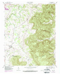
Historical Maps of Viola Through Time
6 maps found
Featured Locations
Source Details
SourceU.S. Geological Survey
CopyrightPublic Domain