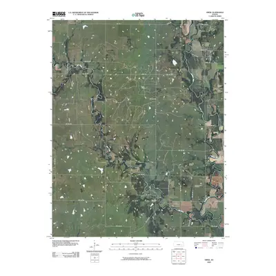
2009 Map of Virgil
USGS Topo · Published 2009About this map
The town of Virgil serves as the focal point of this Greenwood County survey, situated at the confluence of local tradition and the regional energy economy. The landscape is defined by the winding course of the Verdigris River and West Creek, whose banks are overlooked by the Virgil Cemetery and Pleasant Valley Cemetery. This area reflects the mid-continent's petroleum history, with large-scale operations like the Virgil Oil Field, Quincy Oil Field, and Hinchman Oil Field integrated into the rural grid. The road network, including Main St and Santa Fe St, connects these resource extraction sites to the town center, while a dense system of township roads, such as TWP RD 242a and TWP RD 272, facilitates the movement of labor and equipment across the agricultural and industrial terrain.
Find a feature on this map
48 named features on this map. Tap any name to fly to it.
Don’t see what you’re looking for? This feature index may not catch every label — zoom into the map to look around manually.
Map Details
Editions of this 2009 Virgil Map
This is the sole edition of this map. No revisions or reprints were ever made.
Other maps of this area

1885 · Burlington
USGS Topo · 1:125,000

1885 · Eureka
USGS Topo · 1:125,000

1886 · Fredonia
USGS Topo · 1:125,000

1888 · Emporia
USGS Topo · 1:125,000

1888 · Eureka
USGS Topo · 1:125,000

1894 · Emporia
USGS Topo · 1:125,000

1894 · Fredonia
USGS Topo · 1:125,000

1894 · Burlington
USGS Topo · 1:125,000

1894 · Eureka
USGS Topo · 1:125,000

1947 · Lawrence
USGS Topo · 1:250,000