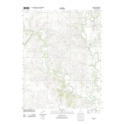
2012 Map of Virgil
USGS Topo · Published 2012About this map
The town of Virgil serves as the primary hub for this portion of Greenwood County, situated along the banks of the Verdigris River. The landscape is defined by its long-standing connection to the petroleum industry, evidenced by numerous production areas including the Virgil Oil Field, Sleeley-Wick Oil Field, Hinchman Oil Field, and Quincy Oil Field. These fields suggest a history of resource extraction that shaped the local economy and road network, which is dominated by a grid of township highways such as Twp Hwy 273 and Twp Hwy 254.
Find a feature on this map
55 named features on this map. Tap any name to fly to it.
Don’t see what you’re looking for? This feature index may not catch every label — zoom into the map to look around manually.
Map Details
Editions of this 2012 Virgil Map
This is the sole edition of this map. No revisions or reprints were ever made.
Other maps of this area

1885 · Burlington
USGS Topo · 1:125,000

1885 · Eureka
USGS Topo · 1:125,000

1886 · Fredonia
USGS Topo · 1:125,000

1888 · Emporia
USGS Topo · 1:125,000

1888 · Eureka
USGS Topo · 1:125,000

1894 · Emporia
USGS Topo · 1:125,000

1894 · Fredonia
USGS Topo · 1:125,000

1894 · Burlington
USGS Topo · 1:125,000

1894 · Eureka
USGS Topo · 1:125,000

1947 · Lawrence
USGS Topo · 1:250,000