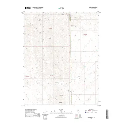
2018 Map of Virgin Peak
USGS Topo · Published 2018About this map
The Virgin Mountains dominate this high-desert landscape straddling the border between Clark County, Nevada, and Mohave County, Arizona. At the center of this remote terrain, Virgin Peak and its associated Virgin Peak Ridge overlook the surrounding Mojave Desert. The map reveals a land defined by water scarcity and relief, where named springs such as North Water Spring, Lime Spring, and White Saddle Spring provide vital points of reference. To the south, prominent landforms like Quail Point, Billy Goat Peak, and Whitney Ridge rise above the drainage systems of Pakoon Wash and Cedar Wash. The area is navigated via primitive routes like Pakoon Springs Rd and CO Hwy 101, which facilitate passage through high points like Whitney Pass. This survey illustrates the intricate topography of a region where every named canyon and spring represents a significant milestone for travelers and surveyors alike.
Find a feature on this map
33 named features on this map. Tap any name to fly to it.
Don’t see what you’re looking for? This feature index may not catch every label — zoom into the map to look around manually.
Map Details
Editions of this 2018 Virgin Peak Map
This is the sole edition of this map. No revisions or reprints were ever made.
Other maps of this area

1886 · Saint Thomas
USGS Topo · 1:250,000

1886 · Mt. Trumbull
USGS Topo · 1:250,000

1892 · Mt. Trumbull
USGS Topo · 1:250,000

1893 · Saint Thomas
USGS Topo · 1:250,000

1926 · Bonelli
USGS Topo · 1:96,000

1953 · Gold Butte
USGS Topo · 1:62,500

1953 · Grand Canyon
USGS Topo · 1:250,000

1954 · Las Vegas
USGS Topo · 1:250,000

1954 · Littlefield 3 SW
USGS Topo · 1:24,000

1954 · Cane Springs
USGS Topo · 1:62,500