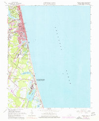
1965 Map of Virginia Beach
USGS Topo · Published 1977About this map
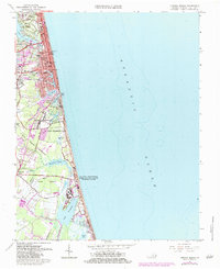
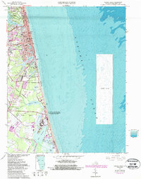
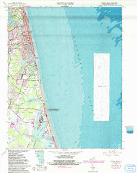
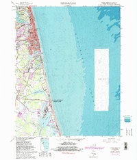
Virginia Beach and its evolving coastal landscape are detailed in this mid-1960s study, showcasing a mix of resort development, residential expansion, and significant military footprints. The urban grid north of Lake Rudee reveals established landmarks like the Star of the Sea Ch and Temple Emanuel, while the famous Boardwalk and alphabetical avenues like Baltic Ave and Arctic Ave define the oceanfront district. Southward, the terrain shifts into more specialized zones, including the U S Naval Amphibious Base and the State Military Reservation. The transition from the developed Rudee Heights to the marshy environs of James Swamp and Lovetts Marsh illustrates the natural barrier islands' complexity. Local history is anchored by settlements like Seatack and the inland Dam Neck Corner, alongside the northern Princess Anne County Club golf course and parklands.
Find a feature on this map
62 named features on this map. Tap any name to fly to it.
Don’t see what you’re looking for? This feature index may not catch every label — zoom into the map to look around manually.
Map Details
Editions of this 1965 Virginia Beach Map
8 editions found
Other maps of this area

1893 · Virginia Beach
USGS Topo · 1:125,000

1907 · Norfolk
USGS Topo · 1:125,000

1916 · Back Bay
USGS Topo · 1:62,500

1918 · Cape Henry
USGS Topo · 1:62,500

1919 · Cape Henry
USGS Topo · 1:62,500

1939 · Moyock
USGS Topo · 1:62,500

1943 · Back Bay
USGS Topo · 1:62,500

1946 · Moyock
USGS Topo · 1:62,500

1946 · Eastville
USGS Topo · 1:250,000

1946 · Currituck Sound
USGS Topo · 1:250,000