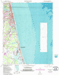
1965 Map of Virginia Beach
USGS Topo · Published 1987About this map
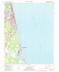
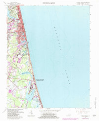
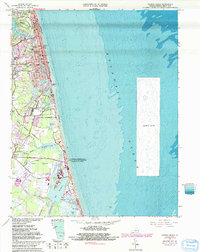
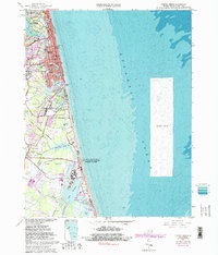
Virginia Beach dominates the northern coastline of this survey, shown during a period of significant urban development and military activity. The map captures the coastal landscape before the more recent waves of expansion, featuring prominent landmarks like the Municipal Building and the Convention Center. The eastern seaboard is characterized by a complex system of lagoons and inlets, including Lake Rudee, Lake Wesley, and Lake Holly, which separate the beachfront from the inland residential areas like Seatack and Rudee Heights.
Find a feature on this map
54 named features on this map. Tap any name to fly to it.
Don’t see what you’re looking for? This feature index may not catch every label — zoom into the map to look around manually.
Map Details
Editions of this 1965 Virginia Beach Map
8 editions found
Other maps of this area

1893 · Virginia Beach
USGS Topo · 1:125,000

1907 · Norfolk
USGS Topo · 1:125,000

1916 · Back Bay
USGS Topo · 1:62,500

1918 · Cape Henry
USGS Topo · 1:62,500

1919 · Cape Henry
USGS Topo · 1:62,500

1939 · Moyock
USGS Topo · 1:62,500

1943 · Back Bay
USGS Topo · 1:62,500

1946 · Moyock
USGS Topo · 1:62,500

1946 · Eastville
USGS Topo · 1:250,000

1946 · Currituck Sound
USGS Topo · 1:250,000