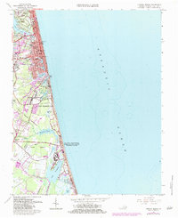
1965 Map of Virginia Beach
USGS Topo · Published 1984About this map
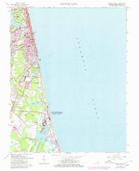
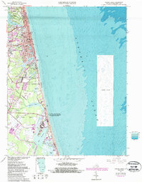
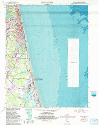
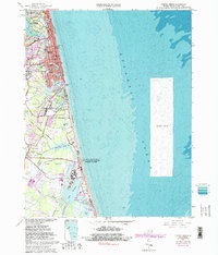
The growing coastline of Virginia Beach dominates this mid-1960s survey, revised in the early 1980s to show the expanding infrastructure of a modern coastal resort and military hub. The northern shoreline is characterized by planned residential neighborhoods like Linkhorn Park and Bird Neck Point, while the city center features civic landmarks including the Municipal Building, Convention Center, and Hospital. The transportation network is anchored by the Norfolk Southern rail line and a grid of streets such as 31st St and Carolina Ave.
Find a feature on this map
72 named features on this map. Tap any name to fly to it.
Don’t see what you’re looking for? This feature index may not catch every label — zoom into the map to look around manually.
Map Details
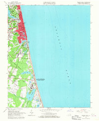
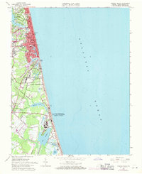
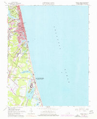
Editions of this 1965 Virginia Beach Map
8 editions found
Other maps of this area

1893 · Virginia Beach
USGS Topo · 1:125,000

1907 · Norfolk
USGS Topo · 1:125,000

1916 · Back Bay
USGS Topo · 1:62,500

1918 · Cape Henry
USGS Topo · 1:62,500

1919 · Cape Henry
USGS Topo · 1:62,500

1939 · Moyock
USGS Topo · 1:62,500

1943 · Back Bay
USGS Topo · 1:62,500

1946 · Moyock
USGS Topo · 1:62,500

1946 · Eastville
USGS Topo · 1:250,000

1946 · Currituck Sound
USGS Topo · 1:250,000