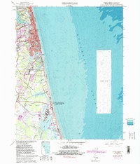
1965 Map of Virginia Beach
USGS Topo · Published 1991About this map
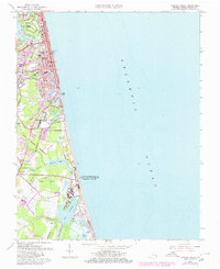
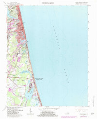
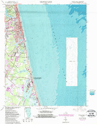
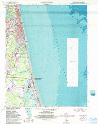
Virginia Beach sits at a transitional moment on the Atlantic coast, where established residential tracts like Cavalier Park and Linkhorn Park meet a growing civic and military infrastructure. The landscape is defined by the complex interface of coastal lakes and marshland, including Lake Holly, Lake Rudee, and the southern expanse of Lovetts Marsh. Significant military presence anchors the southern half of the quadrangle, with the State Military Reservation and the U S Naval Amphibious Base occupying large swaths of the shoreline.
Find a feature on this map
59 named features on this map. Tap any name to fly to it.
Don’t see what you’re looking for? This feature index may not catch every label — zoom into the map to look around manually.
Map Details
Editions of this 1965 Virginia Beach Map
8 editions found
Other maps of this area

1893 · Virginia Beach
USGS Topo · 1:125,000

1907 · Norfolk
USGS Topo · 1:125,000

1916 · Back Bay
USGS Topo · 1:62,500

1918 · Cape Henry
USGS Topo · 1:62,500

1919 · Cape Henry
USGS Topo · 1:62,500

1939 · Moyock
USGS Topo · 1:62,500

1943 · Back Bay
USGS Topo · 1:62,500

1946 · Moyock
USGS Topo · 1:62,500

1946 · Eastville
USGS Topo · 1:250,000

1946 · Currituck Sound
USGS Topo · 1:250,000