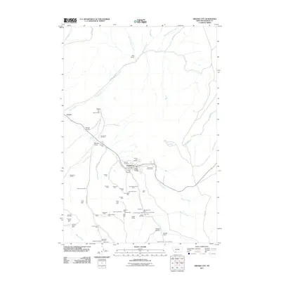
2011 Map of Virginia City
USGS Topo · Published 2011About this map
Virginia City and its neighboring settlement Nevada City anchor this landscape, serving as historical touchstones in Madison County. The area is dense with evidence of its mining heritage, particularly concentrated south of the towns along the slopes above Daylight Creek and Linder Gulch. A vast network of named claims and shafts, such as the United States Grant Mines, Alameda Mine, and Easton Mine, illustrate the scale of extraction that once defined the local economy.
Find a feature on this map
62 named features on this map. Tap any name to fly to it.
Don’t see what you’re looking for? This feature index may not catch every label — zoom into the map to look around manually.
Map Details
Editions of this 2011 Virginia City Map
This is the sole edition of this map. No revisions or reprints were ever made.
Other maps of this area

1888 · Three Forks
USGS Topo · 1:250,000

1893 · Dillon
USGS Topo · 1:250,000

1894 · Three Forks
USGS Topo · 1:250,000

1895 · Three Forks
USGS Topo · 1:250,000

1947 · Bozeman
USGS Topo · 1:250,000

1948 · Bozeman
USGS Topo · 1:250,000

1949 · Varney
USGS Topo · 1:62,500

1950 · Virginia City
USGS Topo · 1:62,500

1955 · Bozeman
USGS Topo · 1:250,000

1955 · Dillon
USGS Topo · 1:250,000