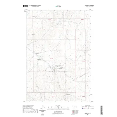
2020 Map of Virginia City
USGS Topo · Published 2020About this map
Virginia City serves as the focal point of this Madison County survey, revealing the organized street grid and civic landmarks of this significant territorial-era settlement. The town's layout is centered around the Madison County Courthouse and defined by historic thoroughfares like E Wallace St and Nevada St. The surrounding landscape is a complex network of gulches and creeks, including the prominent Alder Gulch Rd leading south through a terrain deeply etched by mining history.
Find a feature on this map
41 named features on this map. Tap any name to fly to it.
Don’t see what you’re looking for? This feature index may not catch every label — zoom into the map to look around manually.
Map Details
Editions of this 2020 Virginia City Map
This is the sole edition of this map. No revisions or reprints were ever made.
Other maps of this area

1888 · Three Forks
USGS Topo · 1:250,000

1893 · Dillon
USGS Topo · 1:250,000

1894 · Three Forks
USGS Topo · 1:250,000

1895 · Three Forks
USGS Topo · 1:250,000

1947 · Bozeman
USGS Topo · 1:250,000

1948 · Bozeman
USGS Topo · 1:250,000

1949 · Varney
USGS Topo · 1:62,500

1950 · Virginia City
USGS Topo · 1:62,500

1955 · Bozeman
USGS Topo · 1:250,000

1955 · Dillon
USGS Topo · 1:250,000