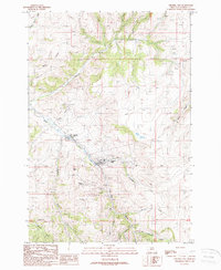
1988 Map of Virginia City
USGS Topo · Published 1989About this map
Gold mining history dominates the landscape of Virginia City and neighboring Nevada City in this late 1980s survey. The map meticulously documents the legacy of extraction along Alder Gulch, where extensive tailings and numerous named workings like the Mapleton Mine, Alameda Mine, and U S Grant Mines remain as permanent scars and monuments to the territory's boom years. The layout of the settlements follows the winding path of the gulch, connected by the Narrow Gauge route and flanked by steep drainages such as Browns Gulch and Hungry Hollow.
Find a feature on this map
40 named features on this map. Tap any name to fly to it.
Don’t see what you’re looking for? This feature index may not catch every label — zoom into the map to look around manually.
Map Details
Editions of this 1988 Virginia City Map
This is the sole edition of this map. No revisions or reprints were ever made.
Other maps of this area

1888 · Three Forks
USGS Topo · 1:250,000

1893 · Dillon
USGS Topo · 1:250,000

1894 · Three Forks
USGS Topo · 1:250,000

1895 · Three Forks
USGS Topo · 1:250,000

1947 · Bozeman
USGS Topo · 1:250,000

1948 · Bozeman
USGS Topo · 1:250,000

1949 · Varney
USGS Topo · 1:62,500

1950 · Virginia City
USGS Topo · 1:62,500

1955 · Bozeman
USGS Topo · 1:250,000

1955 · Dillon
USGS Topo · 1:250,000