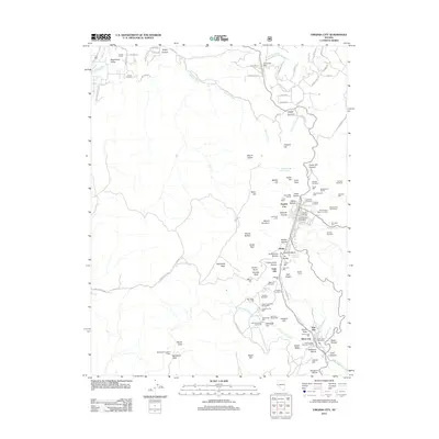
2012 Map of Virginia City
USGS Topo · Published 2012About this map
Virginia City and its industrial landscape dominate this 2012 survey, revealing the complex mining and milling infrastructure of the Comstock Lode era. The map details a dense network of historic processing sites including the United Comstock Merger Mill, Evans Mill, and the Pioneer Foundry, while the town itself is ringed by specialized burial grounds such as the Hebrew Cemetery, Fireman Cemetery, and Masonic Cemetery. This concentration of industrial and civic landmarks illustrates the enduring footprint of the nineteenth-century silver rush on the Nevada terrain.
Find a feature on this map
114 named features on this map. Tap any name to fly to it.
Don’t see what you’re looking for? This feature index may not catch every label — zoom into the map to look around manually.
Map Details
Editions of this 2012 Virginia City Map
This is the sole edition of this map. No revisions or reprints were ever made.
Other maps of this area

1891 · Carson
USGS Topo · 1:125,000

1893 · Carson
USGS Topo · 1:125,000

1950 · Virginia City
USGS Topo · 1:62,500

1950 · Mt. Rose
USGS Topo · 1:62,500

1952 · Mt. Rose
USGS Topo · 1:62,500

1952 · Virginia City
USGS Topo · 1:62,500

1956 · Dayton
USGS Topo · 1:62,500

1956 · Carson City
USGS Topo · 1:62,500

1957 · Reno
USGS Topo · 1:250,000

1959 · Reno
USGS Topo · 1:250,000