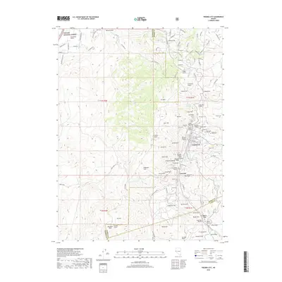
2018 Map of Virginia City
USGS Topo · Published 2018About this map
Virginia City and the Comstock Lode heartland are presented in meticulous detail, revealing a landscape deeply marked by nineteenth-century mining operations. The high peaks of the Virginia Range, including Mt Davidson and Mt Bullion, tower over the high-altitude settlements. Notable subterranean infrastructure is referenced via the Sutro Tunnel, Santa Rita Tunnel, and Cole Tunnel, which speak to the complex engineering required to drain and ventilate the deep silver and gold mines of the district.
Find a feature on this map
124 named features on this map. Tap any name to fly to it.
Don’t see what you’re looking for? This feature index may not catch every label — zoom into the map to look around manually.
Map Details
Editions of this 2018 Virginia City Map
This is the sole edition of this map. No revisions or reprints were ever made.
Other maps of this area

1891 · Carson
USGS Topo · 1:125,000

1893 · Carson
USGS Topo · 1:125,000

1950 · Virginia City
USGS Topo · 1:62,500

1950 · Mt. Rose
USGS Topo · 1:62,500

1952 · Mt. Rose
USGS Topo · 1:62,500

1952 · Virginia City
USGS Topo · 1:62,500

1956 · Dayton
USGS Topo · 1:62,500

1956 · Carson City
USGS Topo · 1:62,500

1957 · Reno
USGS Topo · 1:250,000

1959 · Reno
USGS Topo · 1:250,000