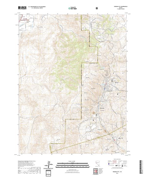
2021 Map of Virginia City
USGS Topo · Published 2021About this map
Virginia City and the Comstock Lode’s enduring legacy are meticulously detailed here, showing the intricate settlement patterns of the historic mining district. The map covers the high-altitude terrain of the Virginia Range, centered on Mt Davidson and Mt Bullion. A dense concentration of fraternal and religious burial grounds, including the Masonic Cem, Fireman Cem, Hebrew Cem, and Catholic Cem, reflects the diverse social fabric of the 19th-century boomtown. The presence of the V & T RR and landmarks like the Storey County Courthouse ground the area’s civic history.
Find a feature on this map
125 named features on this map. Tap any name to fly to it.
Don’t see what you’re looking for? This feature index may not catch every label — zoom into the map to look around manually.
Map Details
Editions of this 2021 Virginia City Map
This is the sole edition of this map. No revisions or reprints were ever made.
Other maps of this area

1891 · Carson
USGS Topo · 1:125,000

1893 · Carson
USGS Topo · 1:125,000

1950 · Virginia City
USGS Topo · 1:62,500

1950 · Mt. Rose
USGS Topo · 1:62,500

1952 · Mt. Rose
USGS Topo · 1:62,500

1952 · Virginia City
USGS Topo · 1:62,500

1956 · Dayton
USGS Topo · 1:62,500

1956 · Carson City
USGS Topo · 1:62,500

1957 · Reno
USGS Topo · 1:250,000

1959 · Reno
USGS Topo · 1:250,000