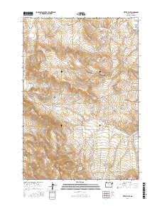
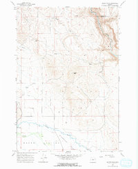
2017 Map of Virtue Flat
USGS Topo · Published 2017About this map
Lone Pine Mtn and the high ridges of Virtue Ridge define the rugged character of this Baker County landscape. The map details a transition from the lower elevations of Missouri Flat and Lower Powder Valley into the steep, ravine-cut terrain of the Elkhorn Mountains foothills. Numerous gulches such as Quartz Gulch and White Swan Gulch suggest a history of drainage and mineral exploration, further evidenced by the networks of roads leading toward high-ground operations, including Eagle Grey Mine Rd and Virtue Mine Rd.
Find a feature on this map
28 named features on this map. Tap any name to fly to it.
Don’t see what you’re looking for? This feature index may not catch every label — zoom into the map to look around manually.
Map Details
Editions of this 2017 Virtue Flat Map
This is the sole edition of this map. No revisions or reprints were ever made.
Other maps of this area

1901 · Baker City
USGS Topo · 1:125,000

1955 · Baker
USGS Topo · 1:250,000

1959 · Baker
USGS Topo · 1:250,000
1967 · Sawtooth Ridge
USGS Topo · 1:24,000

1967 · Virtue Flat
USGS Topo · 1:24,000

1967 · Encina
USGS Topo · 1:24,000

1967 · Baker
USGS Topo · 1:24,000
1967 · Keating
USGS Topo · 1:24,000
1967 · Keating NW
USGS Topo · 1:24,000
1967 · Magpie Peak
USGS Topo · 1:24,000