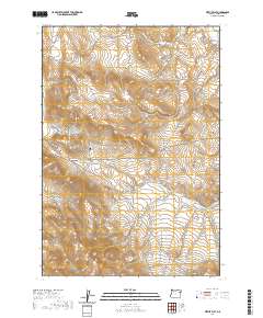
2020 Map of Virtue Flat
USGS Topo · Published 2020About this map
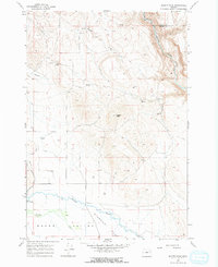
Virtue Flat dominates the southeastern quadrant of this Baker County landscape, characterized by high-desert terrain where drainage systems like Quartz Gulch and White Swan Gulch carve through the arid ridges. To the west, the prominence of Flagstaff Hill and Lone Pine Mtn overlook the valley floor, while Virtue Ridge runs through the central southern sections. The map reveals an intricate network of irrigation and water management essential for high-altitude ranching and mining, including the Basche Ditch and Corral Ditch.
Find a feature on this map
29 named features on this map. Tap any name to fly to it.
Don’t see what you’re looking for? This feature index may not catch every label — zoom into the map to look around manually.
Map Details
Editions of this 2020 Virtue Flat Map
This is the sole edition of this map. No revisions or reprints were ever made.
Other maps of this area

1901 · Baker City
USGS Topo · 1:125,000

1955 · Baker
USGS Topo · 1:250,000

1959 · Baker
USGS Topo · 1:250,000
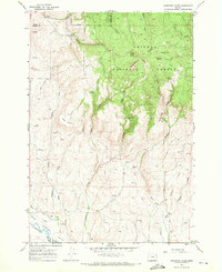
1967 · Sawtooth Ridge
USGS Topo · 1:24,000

1967 · Virtue Flat
USGS Topo · 1:24,000

1967 · Encina
USGS Topo · 1:24,000

1967 · Baker
USGS Topo · 1:24,000
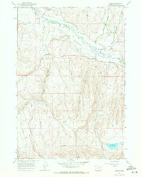
1967 · Keating
USGS Topo · 1:24,000
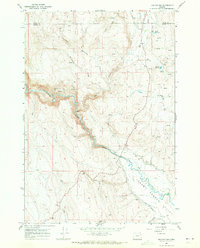
1967 · Keating NW
USGS Topo · 1:24,000
1967 · Magpie Peak
USGS Topo · 1:24,000