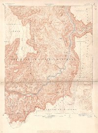
1907 Map of Vishnu
USGS Topo · Published 1915About this map
Hance Ranch and a remote Cabin represent the rare human outposts in this turn-of-the-century survey of Arizona's high desert. The landscape is defined by the deep carving of the Colorado River and its confluence with the Little Colorado River, cutting through the massive Coconino Plateau. Early explorers and surveyors applied mythic nomenclature to the surrounding peaks and formations, including the prominent Vishnu Temple, Wotans Throne, and Siegfried Pyre.
Find a feature on this map
80 named features on this map. Tap any name to fly to it.
Don’t see what you’re looking for? This feature index may not catch every label — zoom into the map to look around manually.
Map Details
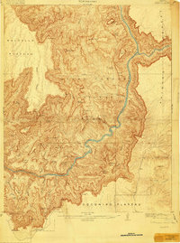
Editions of this 1907 Vishnu Map
3 editions found

Other maps of this area

1886 · San Francisco Mtns
USGS Topo · 1:250,000

1886 · Chino
USGS Topo · 1:250,000

1886 · Echo Cliffs
USGS Topo · 1:250,000

1886 · Kaibab
USGS Topo · 1:250,000

1891 · San Francisco Mtns
USGS Topo · 1:250,000

1891 · Chino
USGS Topo · 1:250,000

1891 · Echo Cliffs
USGS Topo · 1:250,000

1894 · San Francisco Mtns
USGS Topo · 1:250,000

1899 · San Francisco Mtns
USGS Topo · 1:250,000

1903 · Bright Angel
USGS Topo · 1:48,000