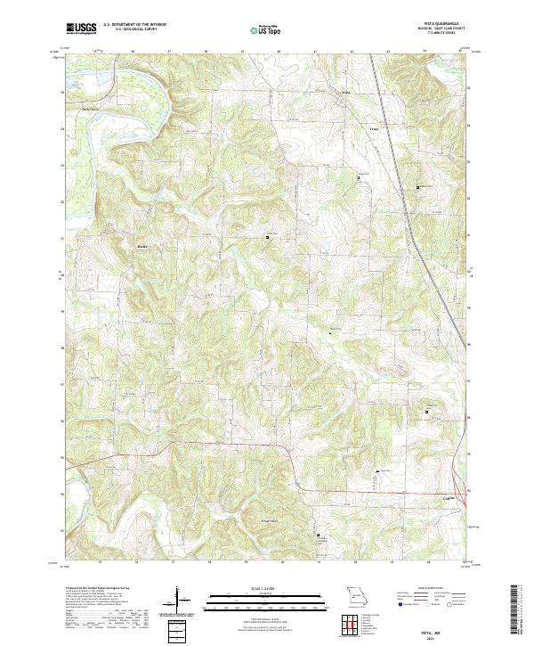
2021 Map of Vista
USGS Topo · Published 2021About this map
The Sac River winds through the western edge of this landscape, carving a valley that includes the Sandy Hollow area and several significant limestone features such as Shryers Bluff to the south. This rural section of St. Clair County is defined by a dense network of local roads and creek drainage basins, including Coon Cr and Buckhart Br, which support the agricultural character of the region.
Find a feature on this map
75 named features on this map. Tap any name to fly to it.
Don’t see what you’re looking for? This feature index may not catch every label — zoom into the map to look around manually.
Map Details
Editions of this 2021 Vista Map
This is the sole edition of this map. No revisions or reprints were ever made.
Other maps of this area
1886 · Stockton
USGS Topo · 1:125,000
1887 · Clinton
USGS Topo · 1:125,000
1894 · Clinton
USGS Topo · 1:125,000
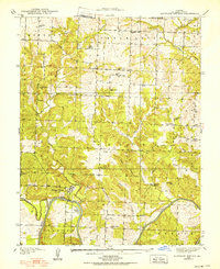
1938 · Monegaw Springs
USGS Topo · 1:24,000
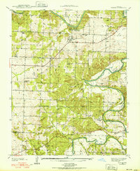
1938 · Roscoe
USGS Topo · 1:24,000
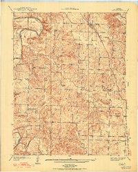
1938 · Vista
USGS Topo · 1:24,000
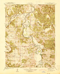
1939 · Caplinger Mills
USGS Topo · 1:24,000
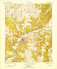
1939 · Osceola
USGS Topo · 1:24,000
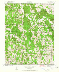
1939 · Arnica
USGS Topo · 1:24,000
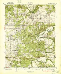
1940 · Roscoe
USGS Topo · 1:24,000