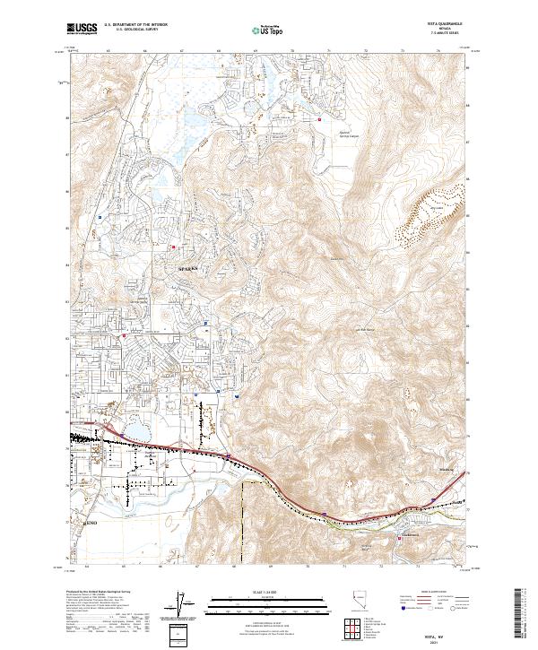
2021 Map of Vista
USGS Topo · Published 2021About this map
Sparks and Reno anchor the western edge of this 2021 study, where the expanding suburban footprint meets the high desert terrain of the Pah Rah Range and Virginia Range. This modern perspective captures the significant residential growth throughout the Spanish Springs Valley, evidenced by a dense network of new streets like Wingfield Springs Rd and Vista Blvd. In the south, the industrial and transport corridor follows the Truckee Meadows along the Union Pacific rail lines and the path toward the small eastern settlements of Mustang, Hafed, and Lockwood. The landscape transitions abruptly from the organized grid of the valley floor to the steep elevations of Canoe Hill and Spanish Springs Canyon, providing a clear look at how contemporary development is shaped by the Nevada topography. Local landmarks like the Po serve as anchors for these burgeoning communities.
Find a feature on this map
206 named features on this map. Tap any name to fly to it.
Don’t see what you’re looking for? This feature index may not catch every label — zoom into the map to look around manually.
Map Details
Editions of this 2021 Vista Map
This is the sole edition of this map. No revisions or reprints were ever made.
Other maps of this area

1891 · Carson
USGS Topo · 1:125,000

1891 · Reno
USGS Topo · 1:125,000

1893 · Carson
USGS Topo · 1:125,000

1893 · Reno
USGS Topo · 1:125,000

1950 · Virginia City
USGS Topo · 1:62,500

1950 · Mt. Rose
USGS Topo · 1:62,500

1950 · Reno
USGS Topo · 1:62,500

1951 · Reno
USGS Topo · 1:62,500

1952 · Mt. Rose
USGS Topo · 1:62,500

1952 · Virginia City
USGS Topo · 1:62,500