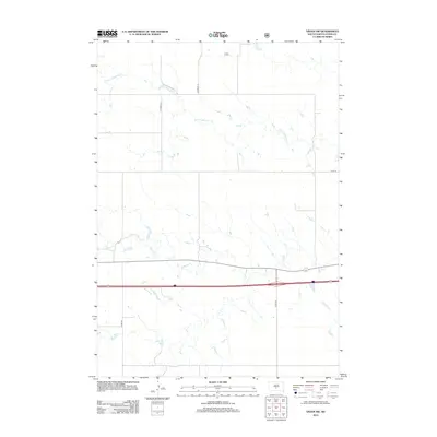
2012 Map of Vivian NW
USGS Topo · Published 2012About this map
Medicine Creek and the North Fork Medicine Creek wind through this section of Jones County, carving a network of drainage patterns across the prairie. The landscape in this 2012 survey is defined by the open ranching and agricultural lands of south-central South Dakota, where the watercourses provide the primary topographic relief. This map is particularly useful for understanding the modern county road system and land division, showing the intersecting routes of County Highway N 15 and various rural connectors like County Road S10. The transition between the upper reaches of the North Fork and the main stem of Medicine Creek illustrates the vital role of these seasonal and perennial waterways in the regional hydrology of the Great Plains.
Find a feature on this map
7 named features on this map. Tap any name to fly to it.
Don’t see what you’re looking for? This feature index may not catch every label — zoom into the map to look around manually.
Map Details
Editions of this 2012 Vivian NW Map
This is the sole edition of this map. No revisions or reprints were ever made.
Other maps of this area

1951 · Murdo SE
USGS Topo · 1:24,000

1954 · Pierre
USGS Topo · 1:250,000

1955 · Martin
USGS Topo · 1:250,000

1958 · Pierre
USGS Topo · 1:250,000

1958 · Martin
USGS Topo · 1:250,000

1970 · Vivian SW
USGS Topo · 1:24,000

1972 · Pierre 3 SW
USGS Topo · 1:24,000

1972 · Draper
USGS Topo · 1:24,000

1972 · Pierre 3 SE
USGS Topo · 1:24,000

1972 · Vivian
USGS Topo · 1:24,000