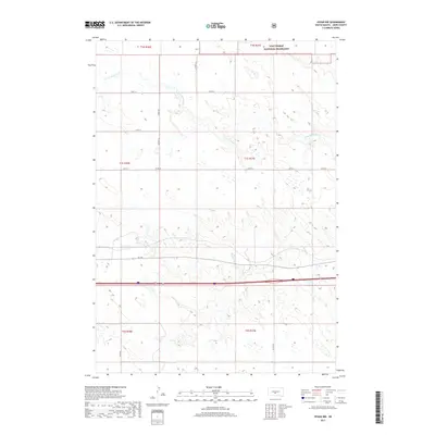
2017 Map of Vivian NW
USGS Topo · Published 2017About this map
The Fort Pierre National Grassland dominates the northern reaches of this Jones County landscape, where the drainage of the N Fork Medicine Cr carves a winding path across the open terrain. This 2017 survey shows a region defined by its wide-ranging section lines and a sparse but vital network of rural roads. To the south, Medicine Cr flows through the prairie, paralleled by Sd 248 and a major divided highway corridor. The map provides a clear look at the modern township and range system, marking boundaries for t1n r30e through t2s r31e. While no major towns are featured, the placement of county routes like Co Rd 15 and Co Rd 16 illustrates the layout of agricultural access and ranching infrastructure in the High Plains.
Find a feature on this map
19 named features on this map. Tap any name to fly to it.
Don’t see what you’re looking for? This feature index may not catch every label — zoom into the map to look around manually.
Map Details
Editions of this 2017 Vivian NW Map
This is the sole edition of this map. No revisions or reprints were ever made.
Other maps of this area

1951 · Murdo SE
USGS Topo · 1:24,000

1954 · Pierre
USGS Topo · 1:250,000

1955 · Martin
USGS Topo · 1:250,000

1958 · Pierre
USGS Topo · 1:250,000

1958 · Martin
USGS Topo · 1:250,000

1970 · Vivian SW
USGS Topo · 1:24,000

1972 · Pierre 3 SW
USGS Topo · 1:24,000

1972 · Draper
USGS Topo · 1:24,000

1972 · Pierre 3 SE
USGS Topo · 1:24,000

1972 · Vivian
USGS Topo · 1:24,000