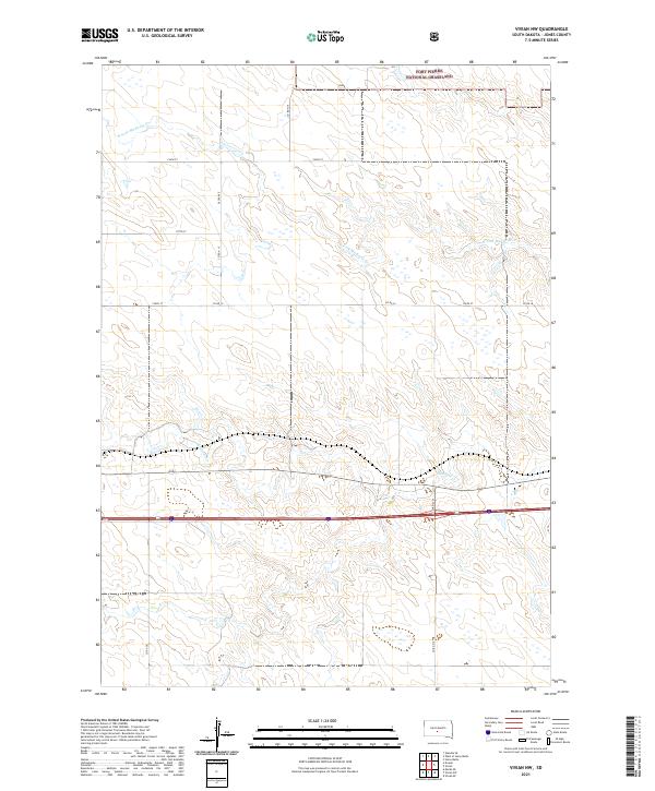
2021 Map of Vivian NW
USGS Topo · Published 2021About this map
Fort Pierre National Grassland dominates the northern horizon of this central South Dakota landscape, where the prairie is defined by the winding drainages of the N Fork Medicine Cr. This 2021 survey reveals a vast network of section-line roads and local thoroughfares like 283rd Ave and 236th St that partition the open range into traditional grid-based grazing and agricultural tracts. The terrain is marked by the distinct draws and coulees feeding into Medicine Cr in the south, illustrating the subtle but essential water management of the High Plains. While human structures are sparse, the presence of various county routes, including Co Rd S 10, indicates the ongoing importance of road connectivity for ranching operations and public land access in this remote portion of Jones County.
Find a feature on this map
18 named features on this map. Tap any name to fly to it.
Don’t see what you’re looking for? This feature index may not catch every label — zoom into the map to look around manually.
Map Details
Editions of this 2021 Vivian NW Map
This is the sole edition of this map. No revisions or reprints were ever made.
Other maps of this area

1951 · Murdo SE
USGS Topo · 1:24,000

1954 · Pierre
USGS Topo · 1:250,000

1955 · Martin
USGS Topo · 1:250,000

1958 · Pierre
USGS Topo · 1:250,000

1958 · Martin
USGS Topo · 1:250,000

1970 · Vivian SW
USGS Topo · 1:24,000

1972 · Pierre 3 SW
USGS Topo · 1:24,000

1972 · Draper
USGS Topo · 1:24,000

1972 · Pierre 3 SE
USGS Topo · 1:24,000

1972 · Vivian
USGS Topo · 1:24,000