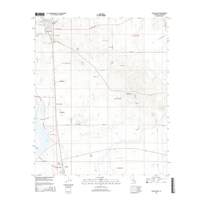
2015 Map of Vivian South
USGS Topo · Published 2015About this map
The northwest Louisiana landscape of Caddo Parish is dominated here by the sprawling waters of Caddo Lake and a complex network of wetlands. In the early 21st century, the area remains defined by its industrial roots, with the southern reaches featuring Oil City and Caddo, while the central portion includes the Ward 2 Industrial Park. The settlement of Superior sits just north of the Shoreline community, illustrating the long-standing human presence along the lake's edge.
Find a feature on this map
79 named features on this map. Tap any name to fly to it.
Don’t see what you’re looking for? This feature index may not catch every label — zoom into the map to look around manually.
Map Details
Editions of this 2015 Vivian South Map
This is the sole edition of this map. No revisions or reprints were ever made.
Other maps of this area

1932 · Hosston NW
USGS Topo · 1:31,680

1932 · Hosston NE
USGS Topo · 1:31,680

1932 · Hosston SW
USGS Topo · 1:31,680

1932 · Hosston SE
USGS Topo · 1:31,680

1932 · Shreveport NE
USGS Topo · 1:31,680

1944 · Kildare
USGS Topo · 1:62,500

1944 · Caddo Lake
USGS Topo · 1:62,500

1946 · Caddo Lake
USGS Topo · 1:62,500

1948 · Kildare
USGS Topo · 1:62,500

1948 · Mooringsport
USGS Topo · 1:62,500