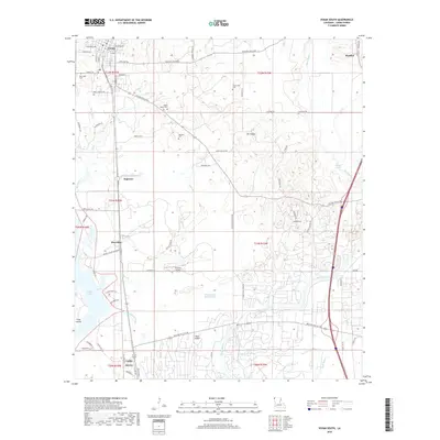
2018 Map of Vivian South
USGS Topo · Published 2018About this map
Caddo Lake and its intricate network of sloughs and bayous dominate this Caddo Parish landscape, reflecting the heavy influence of the oil industry and the region's hydrologic history. The presence of Shoreline and Oil City marks the southern edge of the survey, where the Arkansas Pump Station Rd and various levees suggest the engineered control of local water levels. Central to the map is Pine Island, surrounded by the winding courses of Old Channel Black Bayou and Cocklebur Bayou.
Find a feature on this map
80 named features on this map. Tap any name to fly to it.
Don’t see what you’re looking for? This feature index may not catch every label — zoom into the map to look around manually.
Map Details
Editions of this 2018 Vivian South Map
This is the sole edition of this map. No revisions or reprints were ever made.
Other maps of this area

1932 · Hosston NW
USGS Topo · 1:31,680

1932 · Hosston NE
USGS Topo · 1:31,680

1932 · Hosston SW
USGS Topo · 1:31,680

1932 · Hosston SE
USGS Topo · 1:31,680

1932 · Shreveport NE
USGS Topo · 1:31,680

1944 · Kildare
USGS Topo · 1:62,500

1944 · Caddo Lake
USGS Topo · 1:62,500

1946 · Caddo Lake
USGS Topo · 1:62,500

1948 · Kildare
USGS Topo · 1:62,500

1948 · Mooringsport
USGS Topo · 1:62,500