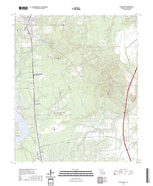
2024 Map of Vivian South
USGS Topo · Published 2024About this map
Caddo Oil City and the northern reaches of Caddo Lake define this landscape in northwest Louisiana, where the history of early 20th-century petroleum production remains etched into the modern geography. The map documents the transition from the town of Vivian south through smaller communities like Superior and Shoreline, tracing the winding paths of Tiger Branch and Black Bayou. This area is particularly rich for family history research, featuring several local burial grounds including the Harrell - Harrison Cem, Raines Lease Cem, and the Hobbs Family Cem.
Find a feature on this map
82 named features on this map. Tap any name to fly to it.
Don’t see what you’re looking for? This feature index may not catch every label — zoom into the map to look around manually.
Map Details
Editions of this 2024 Vivian South Map
This is the sole edition of this map. No revisions or reprints were ever made.
Other maps of this area

1932 · Hosston NW
USGS Topo · 1:31,680

1932 · Hosston NE
USGS Topo · 1:31,680

1932 · Hosston SW
USGS Topo · 1:31,680

1932 · Hosston SE
USGS Topo · 1:31,680

1932 · Shreveport NE
USGS Topo · 1:31,680

1944 · Kildare
USGS Topo · 1:62,500

1944 · Caddo Lake
USGS Topo · 1:62,500

1946 · Caddo Lake
USGS Topo · 1:62,500

1948 · Kildare
USGS Topo · 1:62,500

1948 · Mooringsport
USGS Topo · 1:62,500