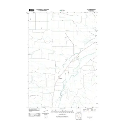
2012 Map of Vocation
USGS Topo · Published 2012About this map
Kamms Corner and Vocation anchor this 2012 study of Park County’s high plains, where the landscape is meticulously shaped by an extensive network of irrigation. The Garland Canal and Ralston Reservoir serve as the lifeblood of this agricultural region, feeding a complex grid of laterals like the Ralston Lateral that support the local ranching and farming operations. The terrain is bisected by the Shoshone River, which carves through the southern portion of the quadrangle, drawing in tributary drainage from Question Cr and Buck Cr. This modern survey illustrates the transition from river-fed lowlands to the managed water systems of the Alkali Creek Patch to the north. Recreation and ranch access are marked by paths such as the Eaglenest Trl and Dutcher Springs Trl, weaving through a grid of numbered roads that define the rural settlement pattern near Eaglenest.
Find a feature on this map
46 named features on this map. Tap any name to fly to it.
Don’t see what you’re looking for? This feature index may not catch every label — zoom into the map to look around manually.
Map Details
Editions of this 2012 Vocation Map
This is the sole edition of this map. No revisions or reprints were ever made.
Other maps of this area
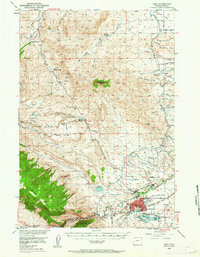
1949 · Cody
USGS Topo · 1:62,500
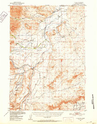
1950 · Clark
USGS Topo · 1:62,500
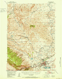
1951 · Cody
USGS Topo · 1:62,500
1955 · Cody
USGS Topo · 1:250,000
1958 · Cody
USGS Topo · 1:250,000
1962 · Cody
USGS Topo · 1:250,000
1966 · Elk Basin SW
USGS Topo · 1:24,000
1966 · Stone Barn Camp
USGS Topo · 1:24,000
1966 · Elk Basin SE
USGS Topo · 1:24,000
1966 · Corbett Dam
USGS Topo · 1:24,000