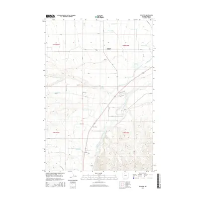
2015 Map of Vocation
USGS Topo · Published 2015About this map
Ralston Flats anchors this Park County landscape, illustrating the intricate water management systems essential to the Bighorn Basin. The map details a sophisticated network of irrigation including the Garland Canal and numerous lateral lines like Lateral H-103, which transformed this arid terrain for agricultural use. Settlements such as Kamms Corner and Vocation serve as local hubs, connected by a grid of county roads and distinctive paths like Dutcher Springs Trl. The Shoshone River carves through the southern portion of the sheet, where the Corbett Tunnel indicates significant engineering efforts to divert water. Local landmarks, including the Ralston Reservoir and Emma Lanchbury Reservoir, provide critical water storage while family-named routes such as John Wayne Ln hint at the area's more contemporary residential developments and local history.
Find a feature on this map
55 named features on this map. Tap any name to fly to it.
Don’t see what you’re looking for? This feature index may not catch every label — zoom into the map to look around manually.
Map Details
Editions of this 2015 Vocation Map
This is the sole edition of this map. No revisions or reprints were ever made.
Other maps of this area

1949 · Cody
USGS Topo · 1:62,500

1950 · Clark
USGS Topo · 1:62,500

1951 · Cody
USGS Topo · 1:62,500

1955 · Cody
USGS Topo · 1:250,000

1958 · Cody
USGS Topo · 1:250,000

1962 · Cody
USGS Topo · 1:250,000

1966 · Elk Basin SW
USGS Topo · 1:24,000

1966 · Stone Barn Camp
USGS Topo · 1:24,000

1966 · Elk Basin SE
USGS Topo · 1:24,000

1966 · Corbett Dam
USGS Topo · 1:24,000