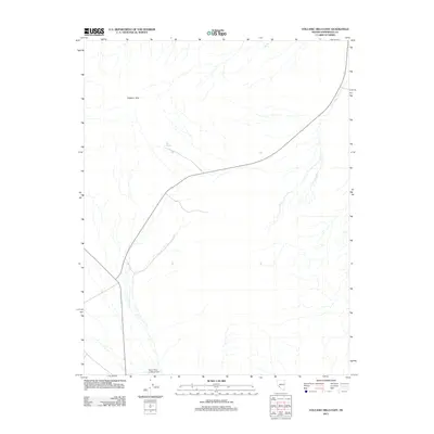
2011 Map of Volcanic Hills East
USGS Topo · Published 2011About this map
Volcanic Hills dominate the northern landscape of this Esmeralda County terrain, where the arid environment is punctuated by vital water sources. The presence of Fish Spring and Red Spring indicates the scarce but essential hydrography that has shaped movement through this high desert region for generations. In the southern reach of the quadrangle, the North Valley Landing Strip serves as a modern waypoint, reflecting the continued importance of remote infrastructure in navigating the open basins of Nevada. This survey documents the intersection of natural volcanic formations and the sparse network of roads that connect these isolated landmarks across the basin and range province.
Find a feature on this map
4 named features on this map. Tap any name to fly to it.
Don’t see what you’re looking for? This feature index may not catch every label — zoom into the map to look around manually.
Map Details
Editions of this 2011 Volcanic Hills East Map
This is the sole edition of this map. No revisions or reprints were ever made.
Other maps of this area

1898 · Silver Peak
USGS Topo · 1:125,000

1900 · Silver Peak
USGS Topo · 1:125,000

1907 · Tonopah
USGS Topo · 1:250,000

1908 · Lida
USGS Topo · 1:250,000

1908 · Tonopah
USGS Topo · 1:250,000

1909 · Hawthorne
USGS Topo · 1:250,000

1911 · Hawthorne
USGS Topo · 1:250,000

1913 · Lida
USGS Topo · 1:250,000

1915 · Hawthorne
USGS Topo · 1:250,000

1917 · White Mountain
USGS Topo · 1:125,000