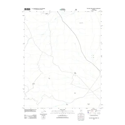
2012 Map of Volcanic Hills West
USGS Topo · Published 2012About this map
The Basalt Mine and Mill stands at the northern edge of this arid Nevada landscape, marking the intersection of industrial extraction and the Great Basin's characteristically varied terrain. This high-desert environment is defined by the Volcanic Hills and isolated peaks such as Pinyon Hill and Pinto Hill, which rise above the surrounding basins. Water sources, vital for both mining operations and local ecology, are sparse and concentrated along drainage paths like Pinchot Cr and at the Sand Spring within Sand Spring Canyon. To the south, the terrain levels out into the broad expanse of Wildhorse Flat, where seasonal runoff from Trail Canyon and Mustang Canyon eventually reaches the valley floor. The map illustrates a remote area where resource extraction and natural topography are the primary features of the land.
Find a feature on this map
11 named features on this map. Tap any name to fly to it.
Don’t see what you’re looking for? This feature index may not catch every label — zoom into the map to look around manually.
Map Details
Editions of this 2012 Volcanic Hills West Map
This is the sole edition of this map. No revisions or reprints were ever made.
Other maps of this area

1909 · Hawthorne
USGS Topo · 1:250,000

1911 · Hawthorne
USGS Topo · 1:250,000

1915 · Hawthorne
USGS Topo · 1:250,000

1917 · White Mountain
USGS Topo · 1:125,000

1947 · Mariposa
USGS Topo · 1:250,000

1948 · Walker Lake
USGS Topo · 1:250,000

1948 · Mariposa
USGS Topo · 1:250,000

1957 · Walker Lake
USGS Topo · 1:250,000

1957 · Mariposa
USGS Topo · 1:250,000

1962 · Walker Lake
USGS Topo · 1:250,000